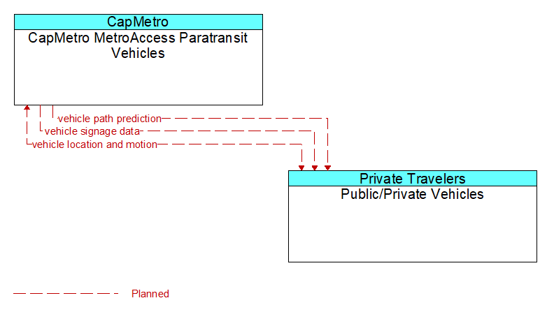
Interface: CapMetro MetroAccess Paratransit Vehicles - Public/Private Vehicles
Architecture Flow Definitions
vehicle location and motion (Planned) Applicable ITS Standards
Data describing the vehicle's position, heading, speed, acceleration, transmission, steering wheel angle, braking status, size information, and trajectory.
vehicle path prediction (Planned) Applicable ITS Standards
The predicted future vehicle path of travel. This flow includes an indication of the future positions of the transmitting vehicle that can be used by receiving vehicles to support coordinated driving manuevers and enhance in-lane and out-of-lane threat classification.
vehicle signage data (Planned) Applicable ITS Standards
In-vehicle signing data that augments regulatory, warning, and informational road signs and signals. The information provided would include static sign information (e.g., stop, curve warning, guide signs, service signs, and directional signs) and dynamic information (e.g., current signal states, grade crossing information, local traffic and road conditions, detours, advisories, and warnings).