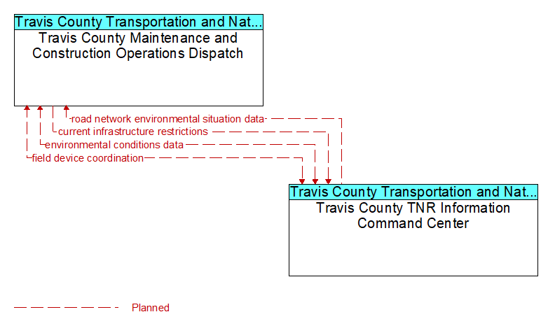
Interface: Travis County Maintenance and Construction Operations Dispatch - Travis County TNR Information Command Center
Architecture Flow Definitions
current infrastructure restrictions (Planned) Applicable ITS Standards
Restrictions levied on transportation asset usage based on infrastructure design, surveys, tests, or analyses. This includes standard facility design height, width, and weight restrictions, special restrictions such as spring weight restrictions, and temporary facility restrictions that are imposed during maintenance and construction.
environmental conditions data (Planned) Applicable ITS Standards
Current road conditions (e.g., surface temperature, subsurface temperature, moisture, icing, treatment status) and surface weather conditions (e.g., air temperature, wind speed, precipitation, visibility) as measured and reported by fixed and/or mobile environmental sensors and aggregated by the data collector. Attributes relating to the data collection (and aggregation) are also included.
field device coordination (Planned) Applicable ITS Standards
Coordination between operating centers that share control of the same field devices. This flow supports coordination to prevent conflicts and allow cooperative management of shared devices.
road network environmental situation data (Planned) Applicable ITS Standards
Aggregated environmental situation data collected from vehicles and other sources for the road network. Aggregated information would include measured air temperature, exterior light status, wiper status, sun sensor status, rain sensor status, traction control status, ALB status, and other collected vehicle system status and sensor information for the region.