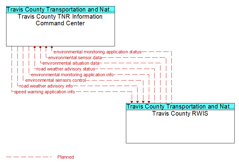
Interface: Travis County TNR Information Command Center - Travis County RWIS
Architecture Flow Definitions
environmental monitoring application info (Planned) Applicable ITS Standards
Environmental monitoring application parameters and thresholds that control the filtering, aggregation, and range of measures that are collected, derived, and reported. This flow also supports remote control of the application so the application can be taken offline, reset, or restarted.
environmental monitoring application status (Planned) Applicable ITS Standards
Environmental monitoring application status reported by the RSE. This includes current operational state and status of the RSE and a record of system operation.
environmental sensor data (Planned) Applicable ITS Standards
Current road conditions (e.g., surface temperature, subsurface temperature, moisture, icing, treatment status) and surface weather conditions (e.g., air temperature, wind speed, precipitation, visibility) as measured and reported by fixed and/or mobile environmental sensors. Operational status of the sensors is also included.
environmental sensors control (Planned) Applicable ITS Standards
Data used to configure and control environmental sensors.
environmental situation data (Planned) Applicable ITS Standards
Aggregated and filtered vehicle environmental data collected from vehicle safety and convenience systems including measured air temperature, exterior light status, wiper status, sun sensor status, rain sensor status, traction control status, anti-lock brake status, and other collected vehicle system status and sensor information. This information flow represents the aggregated and filtered environmental data sets that are provided by the RSE to the back office center. Depending on the RSE configuration and implementation, the data set may also include environmental sensor station data collected by the RSE.
road weather advisory info (Planned) Applicable ITS Standards
Road weather advisories and associated configuration and control information that are used to manage the RSE. Advisories include segment-specific weather and road conditions including real-time advisories of deteriorating road and weather conditions, medium-term advisories for the next 2–12 hours, and long-term advisories more than 12 hours into the future. This flow includes a schedule for issuing the included advisories.
road weather advisory status (Planned) Applicable ITS Standards
Current RSE application status that is monitored by the back office center including the operational state of the RSE, current configuration parameters, and a log of advisories issued. The advisories may include advisories that are issued by the RSE based on locally collected environmental data (e.g., an ice on bridge advisory).
speed warning application info (Planned) Applicable ITS Standards
Roadway configuration data, current speed limits including time of day, week, or season speed limits as necessary, and warning parameters and thresholds. This flow also supports remote control of the application so the application can be taken offline, reset, or restarted.