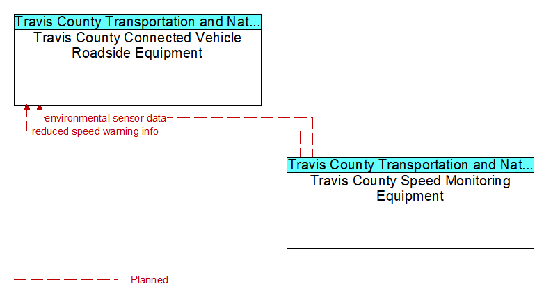
Interface: Travis County Connected Vehicle Roadside Equipment - Travis County Speed Monitoring Equipment
Architecture Flow Definitions
environmental sensor data (Planned) Applicable ITS Standards
Current road conditions (e.g., surface temperature, subsurface temperature, moisture, icing, treatment status) and surface weather conditions (e.g., air temperature, wind speed, precipitation, visibility) as measured and reported by fixed and/or mobile environmental sensors. Operational status of the sensors is also included.
reduced speed warning info (Planned) Applicable ITS Standards
Real time notification of vehicle detections, measured vehicle characteristics (e.g., vehicle height), speed measurements, and warnings issued by roadway infrastructure. This flow can also include roadway configuration data, current speed limits, and warning parameters and thresholds enabling local speed management application configuration and management.