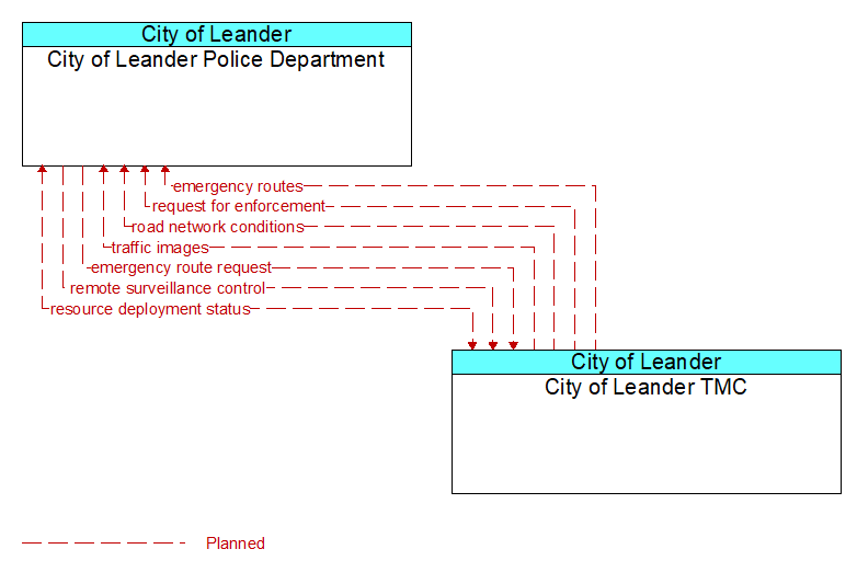
Interface: City of Leander Police Department - City of Leander TMC
Architecture Flow Definitions
emergency route request (Planned) Applicable ITS Standards
Request for access routes for emergency response vehicles and equipment. This may be a request for ingress or egress routes or other emergency routes.
emergency routes (Planned) Applicable ITS Standards
Suggested ingress and egress routes for access to and between the scene and staging areas or other specialized emergency access routes.
remote surveillance control (Planned) Applicable ITS Standards
The control commands used to remotely operate another center's sensors or surveillance equipment so that roadside surveillance assets can be shared by more than one agency.
request for enforcement (Planned) Applicable ITS Standards
Request for traffic enforcement of speed limits, lane controls, etc. on a roadway including in a work zone or other special situations.
resource deployment status (Planned) Applicable ITS Standards
Status of resource deployment identifying the resources (vehicles, equipment, materials, and personnel) available and their current status. General resource inventory information and specific status of deployed resources may be included.
road network conditions (Planned) Applicable ITS Standards
Current and forecasted traffic information, road and weather conditions, and other road network status. Either raw data, processed data, or some combination of both may be provided by this flow. Information on diversions and alternate routes, closures, and special traffic restrictions (lane/shoulder use, weight restrictions, width restrictions, HOV requirements) in effect is included.
traffic images (Planned) Applicable ITS Standards
High fidelity, real-time traffic images suitable for surveillance monitoring by the operator or for use in machine vision applications. This flow includes the images and meta data that describes the images.