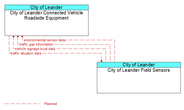
Interface: City of Leander Connected Vehicle Roadside Equipment - City of Leander Field Sensors
Architecture Flow Definitions
environmental sensor data (Planned) Applicable ITS Standards
Current road conditions (e.g., surface temperature, subsurface temperature, moisture, icing, treatment status) and surface weather conditions (e.g., air temperature, wind speed, precipitation, visibility) as measured and reported by fixed and/or mobile environmental sensors. Operational status of the sensors is also included.
traffic gap information (Planned) Applicable ITS Standards
Measured gap to the next approaching vehicle per lane and direction of travel
traffic situation data (Planned) Applicable ITS Standards
Current, aggregate traffic data collected from connected vehicles that can be used to supplement or replace information collected by roadside traffic detectors. It includes raw and/or processed reported vehicle speeds, counts, and other derived measures. Raw and/or filtered vehicle control events may also be included to support incident detection.
vehicle signage local data (Planned) Applicable ITS Standards
Information provided by adjacent field equipment to support in-vehicle signing of dynamic information that is currently being displayed to passing drivers. This includes the dynamic information (e.g., current signal states, grade crossing information, local traffic and road conditions, detours, advisories, parking availability, etc.) and control parameters that identify the desired timing, duration, and priority of the signage data.