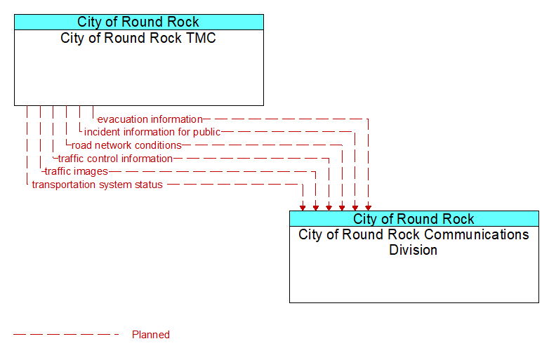
Interface: City of Round Rock TMC - City of Round Rock Communications Division
Architecture Flow Definitions
evacuation information (Planned) Applicable ITS Standards
Evacuation instructions and information including evacuation zones, evacuation times, and reentry times.
incident information for public (Planned) Applicable ITS Standards
Report of current desensitized incident information prepared for public dissemination.
road network conditions (Planned) Applicable ITS Standards
Current and forecasted traffic information, road and weather conditions, and other road network status. Either raw data, processed data, or some combination of both may be provided by this flow. Information on diversions and alternate routes, closures, and special traffic restrictions (lane/shoulder use, weight restrictions, width restrictions, HOV requirements) in effect is included.
traffic control information (Planned) Applicable ITS Standards
Represents the flow of traffic control and status information from a TMC to a third party TIC. This is reporting only, not actual control.
traffic images (Planned) Applicable ITS Standards
High fidelity, real-time traffic images suitable for surveillance monitoring by the operator or for use in machine vision applications. This flow includes the images and meta data that describes the images.
transportation system status (Planned) Applicable ITS Standards
Current status and condition of transportation infrastructure (e.g., tunnels, bridges, interchanges, TMC offices, maintenance facilities). In case of disaster or major incident, this flow provides an assessment of damage sustained by the surface transportation system including location and extent of the damage, estimate of remaining capacity and necessary restrictions, and time frame for repair and recovery.