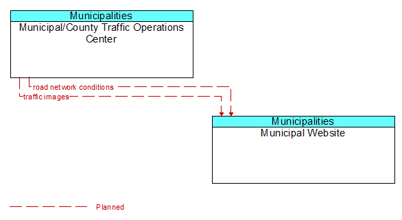
Interface: Municipal/County Traffic Operations Center - Municipal Website
Architecture Flow Definitions
road network conditions (Planned) Applicable ITS Standards
Current and forecasted traffic information, road and weather conditions, and other road network status. Either raw data, processed data, or some combination of both may be provided by this architecture flow. Information on diversions and alternate routes, closures, and special traffic restrictions (lane/shoulder use, weight restrictions, width restrictions, HOV requirements) in effect is included along with a definition of the links, nodes, and routes that make up the road network.
traffic images (Planned)
High fidelity, real-time traffic images suitable for surveillance monitoring by the operator or for use in machine vision applications.